Drone Operations
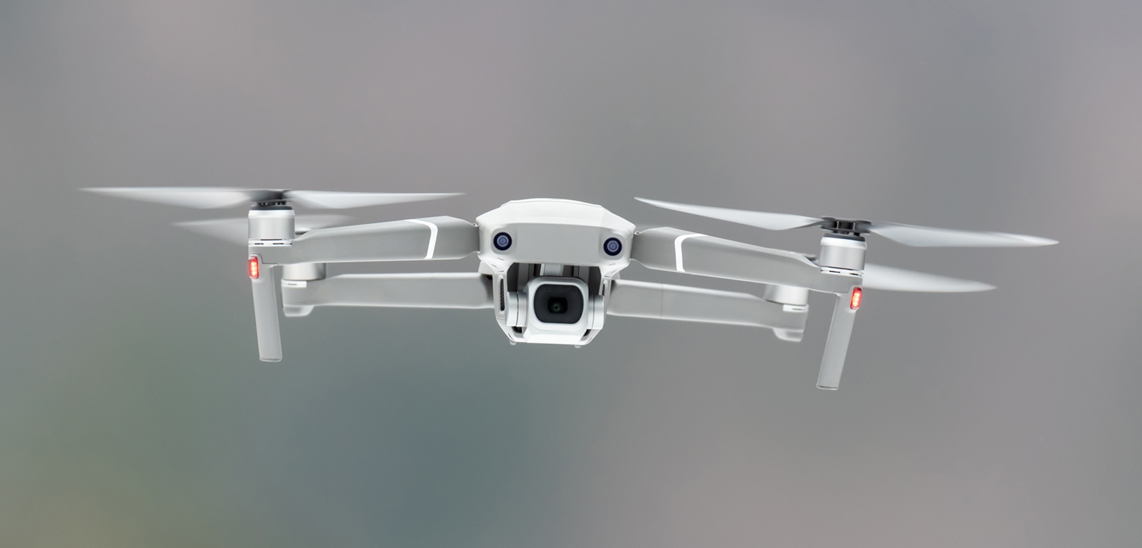
Stanford School of Aeronautics delivers professional drone operations across aerial survey, precision agriculture, geospatial mapping and commercial photography, executed by trained operators to industry standards.
Our Operational Capabilities
Each operation is carried out by specialists trained and certified through our own programmes, ensuring consistent quality and compliance on every project.
01 — Drone Operations
Aerial Survey
Precision data for construction, mining & infrastructure
We deploy survey-grade drone platforms with RTK/PPK positioning to capture high-accuracy aerial data. From ground-control setup to final deliverables, we handle the full survey workflow.
Deliverables
- Orthomosaic maps & point clouds
- Digital Elevation Models (DEM/DTM)
- Centimetre-accurate survey data
- Client-ready technical reports
02 — Drone Operations
Agriculture Drone Operations
Precision agriculture for modern farming
Our agri-drone teams carry out crop spraying, field scouting and spreading operations using professional agri-platforms. We work with farm managers and agronomists to plan and execute large-scale operations safely.
Deliverables
- Variable-rate crop spraying
- Farm-scale mission planning
- Spray calibration & compliance
- Operational reports & field records
03 — Drone Operations
Drone Mapping
Geospatial intelligence for land & asset management
From urban planning to environmental monitoring, we produce production-grade orthomosaics, 3D models and GIS-ready outputs. Our mapping operations integrate directly into ArcGIS and QGIS workflows.
Deliverables
- High-resolution orthomosaics
- 3D terrain & asset models
- GIS-ready geospatial data
- Land-use and change analysis
04 — Drone Operations
Aerial Photography
Broadcast-quality imagery for commercial & creative projects
Our aerial photography team delivers stunning images and video for real estate, media, events and commercial clients. We operate professional camera platforms with cinema-grade gimbals and colour-science workflows.
Deliverables
- High-resolution aerial photography
- Cinematic video production
- Edited deliverables to client brief
- Raw and graded footage packages
Need a professional drone team?
Talk to us about your project. We will advise on scope, equipment and timelines.